Below are links to maps of San Diego County that show how development
and road networks lead to the loss of open space and interrupt wildlife
corridors, forests, and ranch lands.
*Click on the image for a larger version. In order to accurately show
these areas of development these maps are quite large and will download
slowly.
Maps provided by Pacific Biodiversity Institute
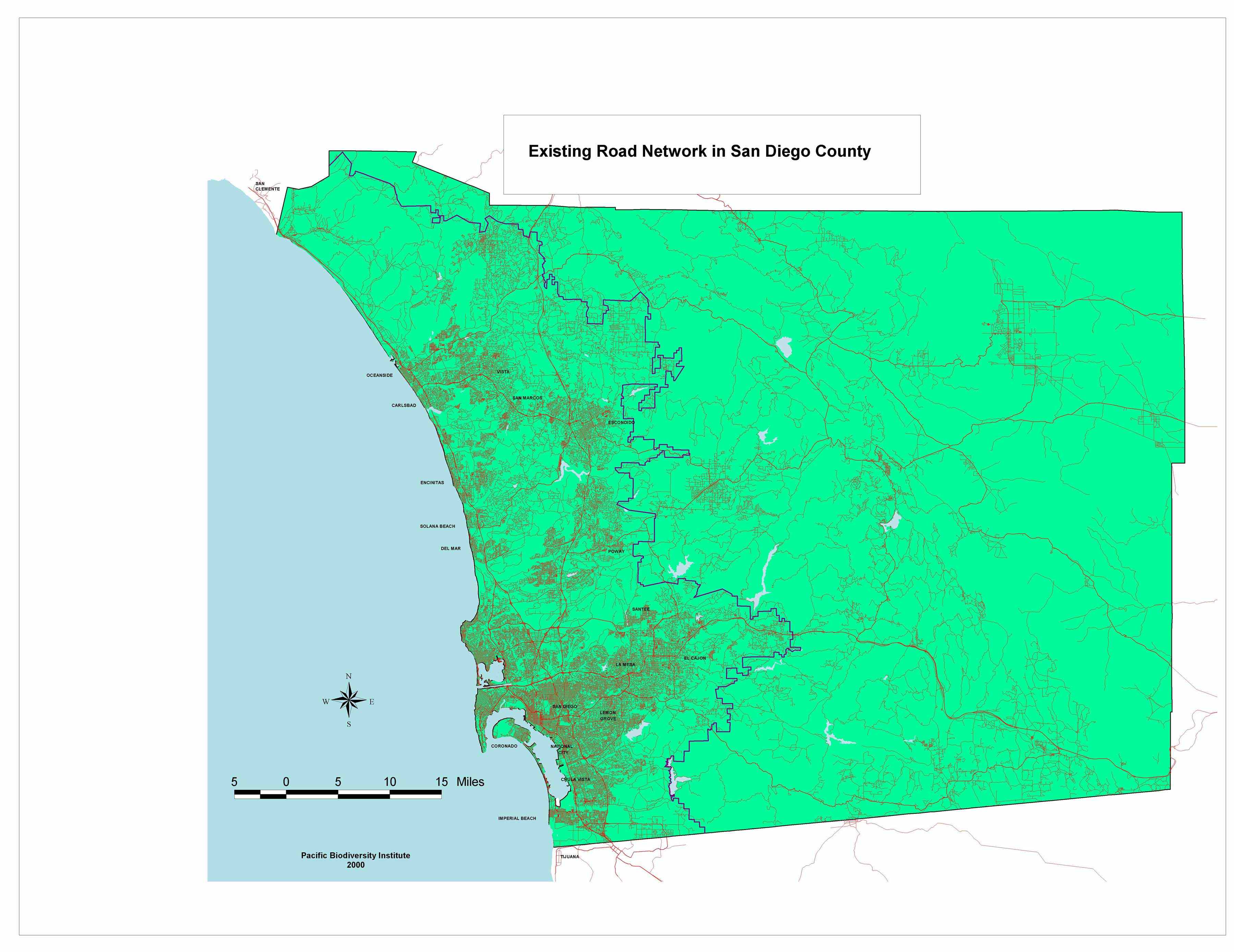 |
Existing road network in San Diego County. |
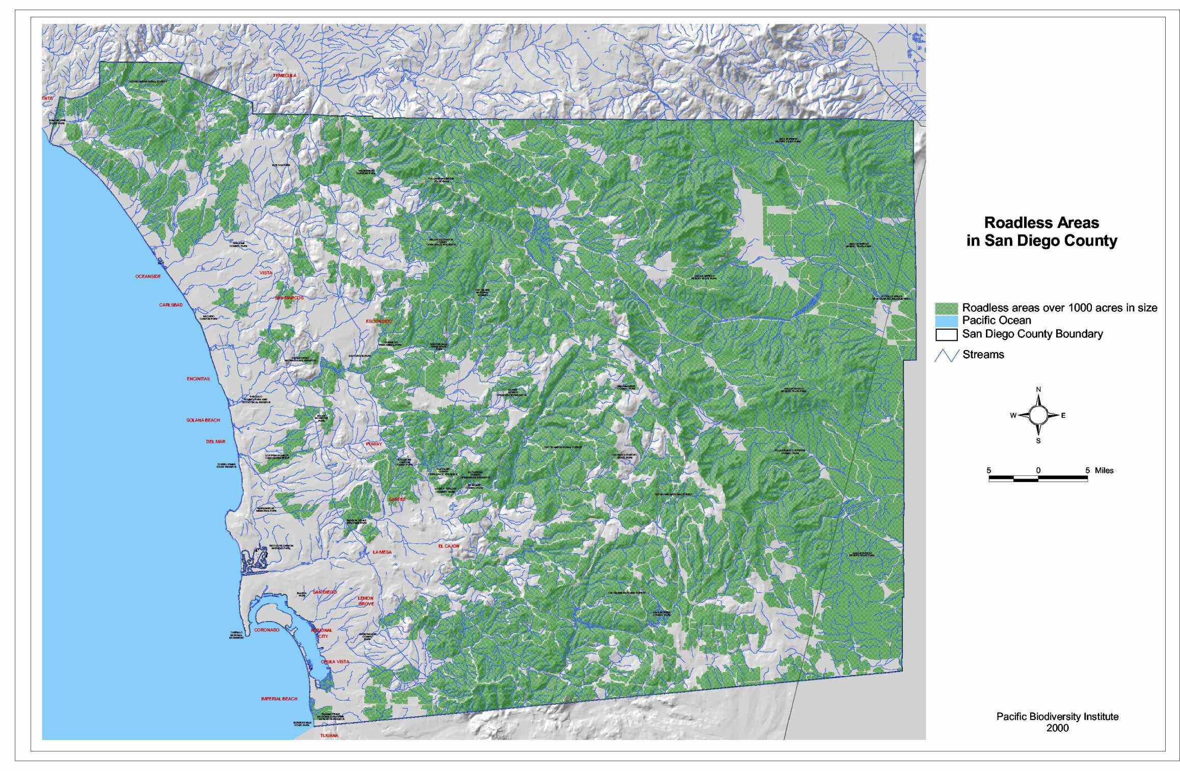 |
Existing roadless areas in the County. |
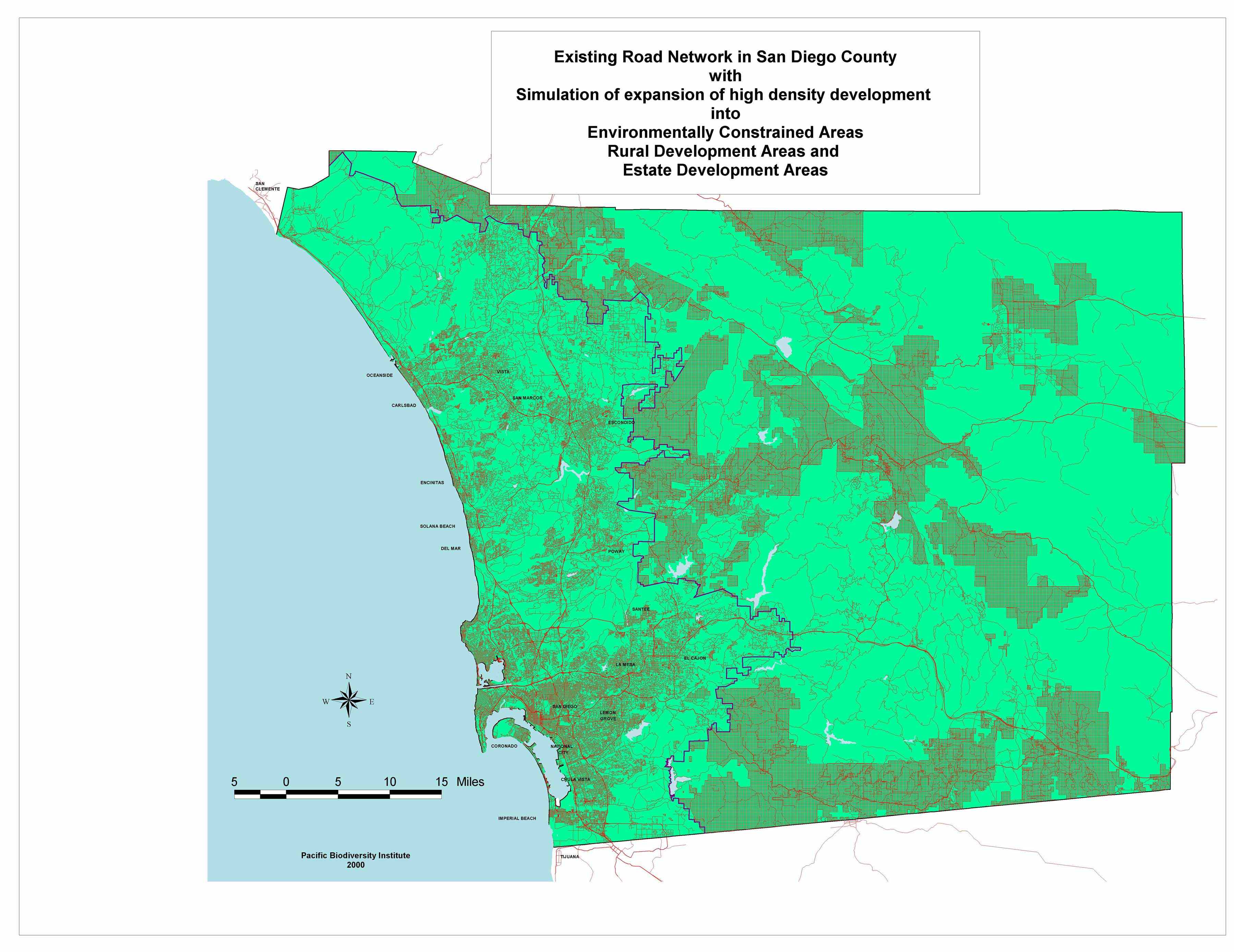 |
This map shows the existing road network in the County with a simulation of expansion of high denisty development into environmentally constrained areas, rural development areas & estate development areas. |
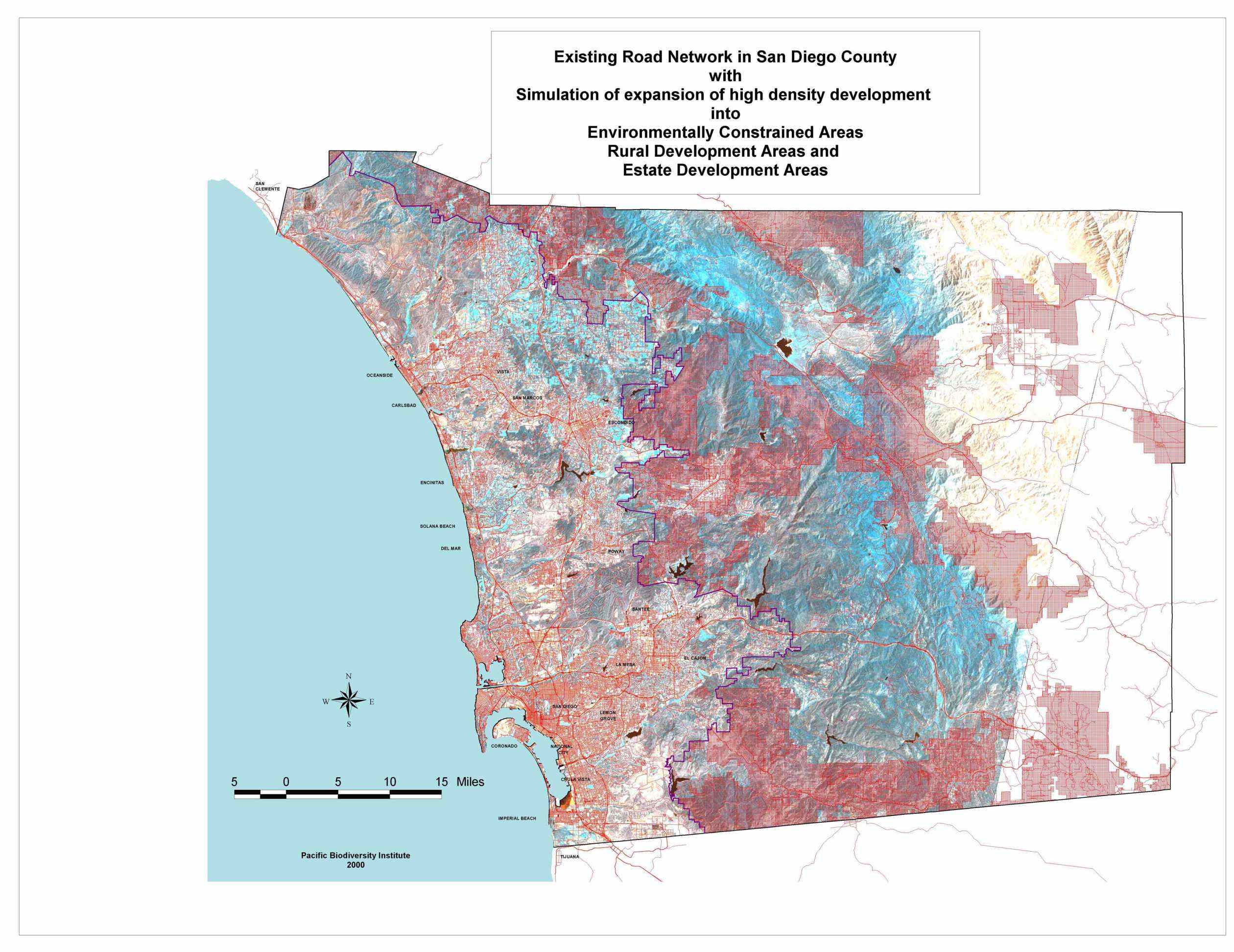 |
This map shows another view of the existing road network in the County with a simulation of expansion of high denisty development into environmentally constrained areas, rural development areas & estate development areas. |
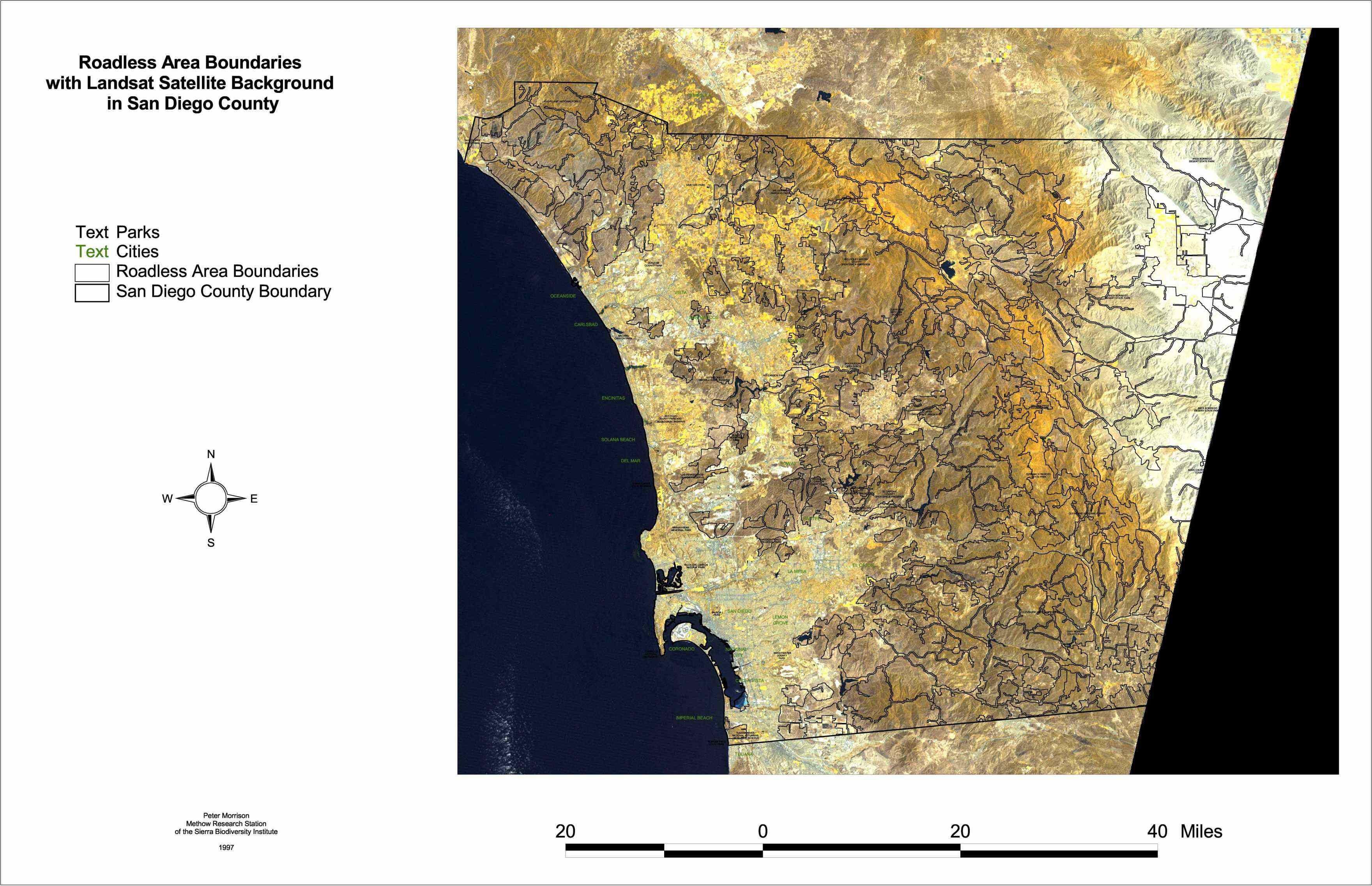 |
Roadless area boundaries with Landsat satellite background in San Diego County. |